File:Junction on the B6348 - Geograph - 1248770.jpg
Jump to navigation
Jump to search

No higher resolution available.
Junction_on_the_B6348_-_Geograph_-_1248770.jpg (640 × 480 pixels, file size: 71 KB, MIME type: image/jpeg)
| |||||||||||||||||||||||||
File history
Click on a date/time to view the file as it appeared at that time.
| Date/Time | Thumbnail | Dimensions | User | Comment | |
|---|---|---|---|---|---|
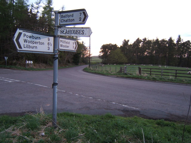
| current | 17:26, 9 April 2010 | | 640 × 480 (71 KB) | Bob@romiley1 (talk | contribs) | '''Junction on the B6348'''<br/>Signpost on the B6348, midway between Wooler and Chatton. It seems that giving the direction to Seahouses came as a bit of an afterthought! |
File usage
The following 2 pages use this file: