File:Justice Street at sunset (C) Richard Slessor - Geograph - 110152.jpg
Jump to navigation
Jump to search

No higher resolution available.
Justice_Street_at_sunset_(C)_Richard_Slessor_-_Geograph_-_110152.jpg (640 × 480 pixels, file size: 69 KB, MIME type: image/jpeg)
| |||||||||||||||||||||||||
|
Galleries | B988 (Justice Street) | unclassified | Aberdeen | Pictures from Geograph | ||
File history
Click on a date/time to view the file as it appeared at that time.
| Date/Time | Thumbnail | Dimensions | User | Comment | |
|---|---|---|---|---|---|
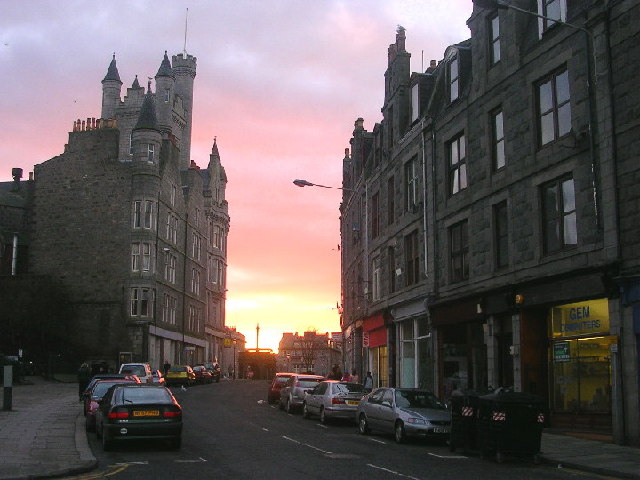
| current | 19:19, 23 April 2015 | | 640 × 480 (69 KB) | Vlad (talk | contribs) | '''Justice Street at sunset (C) Richard Slessor '''<br/>The building on the left is the Salvation Army Citadel while the Mercat Cross can be seen in the centre and a row of shops to the right. |
File usage
The following 2 pages use this file:
_Richard_Slessor_-_Geograph_-_110152.jpg&oldid=650022)