File:Keyway Island Portobello - Geograph - 1198557.jpg
Jump to navigation
Jump to search

No higher resolution available.
Keyway_Island_Portobello_-_Geograph_-_1198557.jpg (640 × 480 pixels, file size: 59 KB, MIME type: image/jpeg)
| |||||||||||||||||||||||||
|
Galleries | A454 | B4464 | Wolverhampton | Portobello Island | Willenhall | ||
File history
Click on a date/time to view the file as it appeared at that time.
| Date/Time | Thumbnail | Dimensions | User | Comment | |
|---|---|---|---|---|---|
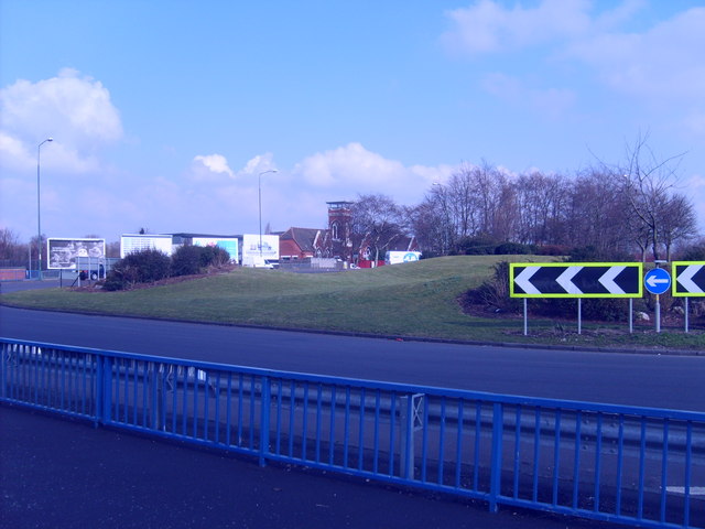
| current | 09:00, 5 August 2016 | | 640 × 480 (59 KB) | Steven (talk | contribs) | '''Keyway Island Portobello''' The A454 bypasses Willenhall on its way to the M6,viewed from the New Street junction. |
File usage
The following 3 pages use this file: