File:Kidbrooke Park Road (A2213), SE3 (C) Mike Quinn - Geograph - 2406420.jpg
Jump to navigation
Jump to search

No higher resolution available.
Kidbrooke_Park_Road_(A2213),_SE3_(C)_Mike_Quinn_-_Geograph_-_2406420.jpg (640 × 480 pixels, file size: 87 KB, MIME type: image/jpeg)
| |||||||||||||||||||||||||
|
Galleries | A2213 | ||
File history
Click on a date/time to view the file as it appeared at that time.
| Date/Time | Thumbnail | Dimensions | User | Comment | |
|---|---|---|---|---|---|
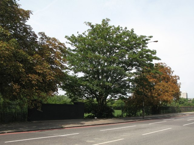
| current | 21:00, 3 November 2013 | | 640 × 480 (87 KB) | Vlad (talk | contribs) | '''Kidbrooke Park Road (A2213), SE3 (C) Mike Quinn '''<br/>The brick wall (left) marks where the Quaggy River passes under the road |
File usage
The following 2 pages use this file:
,_SE3_(C)_Mike_Quinn_-_Geograph_-_2406420.jpg&oldid=357701)