File:Kidderminster Blakedown Hagley Bypass sheet 1.jpg
Jump to navigation
Jump to search

Size of this preview: 785 × 600 pixels. Other resolution: 1,677 × 1,281 pixels.
Original file (1,677 × 1,281 pixels, file size: 645 KB, MIME type: image/jpeg)
| |||||||||||||||||||||||||
|
Galleries | Kidderminster, Blakedown and Hagley Bypass | Kidderminster | ||
File history
Click on a date/time to view the file as it appeared at that time.
| Date/Time | Thumbnail | Dimensions | User | Comment | |
|---|---|---|---|---|---|
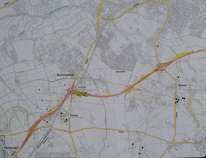
| current | 16:56, 1 October 2013 | | 1,677 × 1,281 (645 KB) | Truvelo (talk | contribs) | Map of the Kidderminster Blakedown Hagley Bypass |
File usage
The following page uses this file: