File:Kielder - Geograph - 986448.jpg
Jump to navigation
Jump to search

No higher resolution available.
Kielder_-_Geograph_-_986448.jpg (640 × 399 pixels, file size: 81 KB, MIME type: image/jpeg)
| |||||||||||||||||||||||||
|
Galleries | unclassified | Northumberland | ||
File history
Click on a date/time to view the file as it appeared at that time.
| Date/Time | Thumbnail | Dimensions | User | Comment | |
|---|---|---|---|---|---|
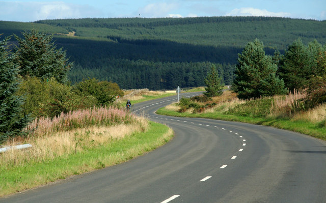
| current | 18:45, 13 April 2017 | | 640 × 399 (81 KB) | Vlad (talk | contribs) | '''Kielder''' The road through Kielder Forest near Hollin Crags. |
File usage
The following page uses this file: