File:King Edward Square, Kingston upon Hull - Geograph - 5688587.jpg
Jump to navigation
Jump to search

No higher resolution available.
King_Edward_Square,_Kingston_upon_Hull_-_Geograph_-_5688587.jpg (640 × 470 pixels, file size: 107 KB, MIME type: image/jpeg)
| |||||||||||||||||||||||||
|
Galleries | Fletcher's Corner | Kingston upon Hull | Pictures from Geograph | ||
File history
Click on a date/time to view the file as it appeared at that time.
| Date/Time | Thumbnail | Dimensions | User | Comment | |
|---|---|---|---|---|---|
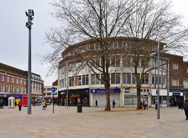
| current | 22:38, 9 January 2020 | | 640 × 470 (107 KB) | C2r (talk | contribs) | '''King Edward Square, Kingston upon Hull''' Retail shops at the junction of Jameson Street, left, and King Edward Street. |
File usage
The following 2 pages use this file: