File:King Harry Lane, St Albans - Geograph - 4245549.jpg
Jump to navigation
Jump to search

No higher resolution available.
King_Harry_Lane,_St_Albans_-_Geograph_-_4245549.jpg (640 × 480 pixels, file size: 96 KB, MIME type: image/jpeg)
| |||||||||||||||||||||||||
|
Galleries | C98 (Hertfordshire) | Hertfordshire | ||
File history
Click on a date/time to view the file as it appeared at that time.
| Date/Time | Thumbnail | Dimensions | User | Comment | |
|---|---|---|---|---|---|
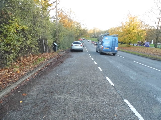
| current | 07:21, 10 March 2017 | | 640 × 480 (96 KB) | C2r (talk | contribs) | '''King Harry Lane, St Albans''' Free parking, and on a main road. Don't say anything, they may notice! It is mainly used to go to Verulamium Park on the left. |
File usage
The following 4 pages use this file: