File:King Street, Knutsford - Geograph - 3832469.jpg
Jump to navigation
Jump to search

No higher resolution available.
King_Street,_Knutsford_-_Geograph_-_3832469.jpg (640 × 480 pixels, file size: 72 KB, MIME type: image/jpeg)
| |||||||||||||||||||||||||
File history
Click on a date/time to view the file as it appeared at that time.
| Date/Time | Thumbnail | Dimensions | User | Comment | |
|---|---|---|---|---|---|
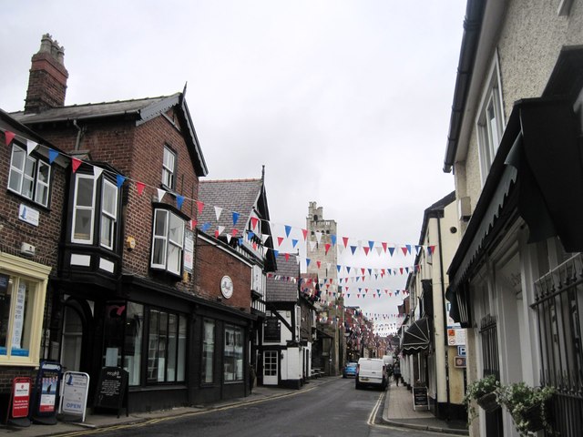
| current | 19:11, 31 May 2016 | | 640 × 480 (72 KB) | Vlad (talk | contribs) | '''King Street, Knutsford''' The town was decorated for the Queen's Jubilee week, 2012. The Gaskell Memorial Tower is in the distance to the left. |
File usage
The following 4 pages use this file: