File:Kingsbr-1932.jpg
Jump to navigation
Jump to search

Size of this preview: 497 × 599 pixels. Other resolution: 633 × 763 pixels.
Original file (633 × 763 pixels, file size: 299 KB, MIME type: image/jpeg)
| |||||||||||||||||||||||||
|
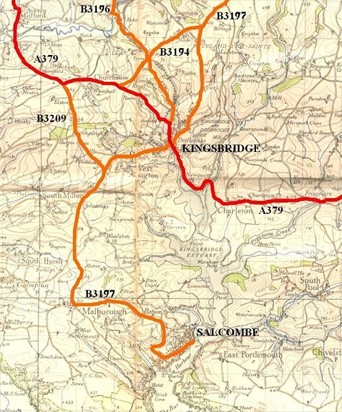
Galleries | A379 | A381 | B3197 | B3196 | B3209 | Kingsbridge | B3194 (Kingsbridge) | OS One Inch | ||
File history
Click on a date/time to view the file as it appeared at that time.
| Date/Time | Thumbnail | Dimensions | User | Comment | |
|---|---|---|---|---|---|
| current | 15:19, 9 December 2009 | | 633 × 763 (299 KB) | Rileyrob (talk | contribs) | {{Information |description = The roads around Kingsbridge & Salcombe in 1932 |day = |month = |year = 1946 |photographer = |source = OS NPE Sheet 188 Base Map |road = A379 |road2 = A381 |road3 = B3197 |
| 15:05, 9 December 2009 | 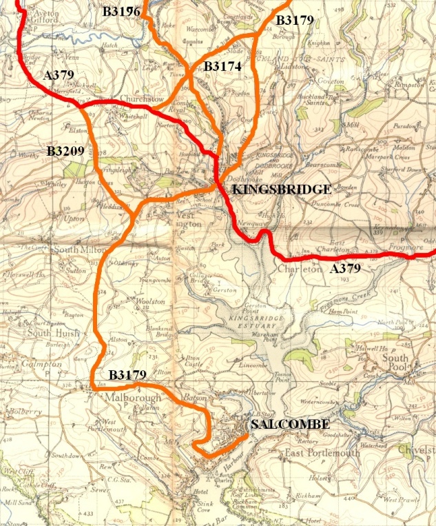 | 633 × 763 (300 KB) | Rileyrob (talk | contribs) | {{Information |description = The roads around Kingsbridge & Salcombe in 1932 |day = |month = |year = 1946 |photographer = |source = OS NPE Sheet 188 Base Map |road = A379 |road2 = A381 |road3 = B3197 |
File usage
The following 5 pages use this file: