File:Kingsey Road, Thame - Geograph - 1740099.jpg

From Roader's Digest: The SABRE Wiki
Jump to navigation Jump to search

Kingsey_Road,_Thame_-_Geograph_-_1740099.jpg(640 × 428 pixels, file size: 55 KB, MIME type: image/jpeg)

Y topleft.gifY topright.gif
Description:
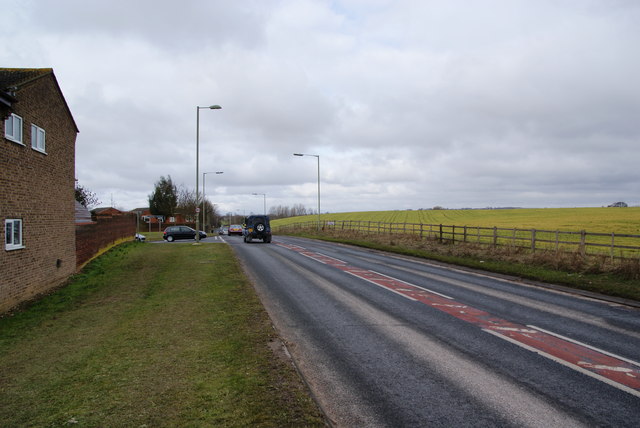
Kingsey Road, Thame
The A4129 northern ring road. This is at the easterly junction with Cromwell Avenue. This road unmistakably marks the edge of town.
Location:51.750566, -0.965079
Road:A4129
Date:06 03 2010
Photographer:� Copyright Bill Boaden and licensed for reuse under this Creative Commons Licence
Source:Geograph

Map

Y btmleft.gifY btmright.gif

Galleries  | A4129 | Thame

File history

Click on a date/time to view the file as it appeared at that time.

Date/TimeThumbnailDimensionsUserComment
current19:58, 10 March 2010Thumbnail for version as of 19:58, 10 March 2010640 × 428 (55 KB)Jeni (talk | contribs)'''Kingsey Road, Thame'''<br/>The A4129 northern ring road. This is at the easterly junction with Cromwell Avenue. This road unmistakably marks the edge of town.

Metadata

SABRE - The Society for All British and Irish Road Enthusiasts
Discuss - Digest - Discover - Help