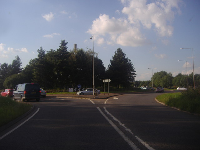
File:Kingston Roundabout, Wavendon - Geograph - 3073632.jpg
Jump to navigation
Jump to search

No higher resolution available.
Kingston_Roundabout,_Wavendon_-_Geograph_-_3073632.jpg (640 × 480 pixels, file size: 42 KB, MIME type: image/jpeg)
| |||||||||||||||||||||||||
|
Galleries | A421 | H8 (Milton Keynes) | A5130 | Kingston Roundabout (Milton Keynes) | Milton Keynes | ||
File history
Click on a date/time to view the file as it appeared at that time.
| Date/Time | Thumbnail | Dimensions | User | Comment | |
|---|---|---|---|---|---|
| current | 08:02, 21 August 2016 | | 640 × 480 (42 KB) | C2r (talk | contribs) | '''Kingston Roundabout, Wavendon''' |
File usage
The following 5 pages use this file: