File:Kinnego Embankment - Geograph - 129145.jpg
Jump to navigation
Jump to search

No higher resolution available.
Kinnego_Embankment_-_Geograph_-_129145.jpg (640 × 480 pixels, file size: 56 KB, MIME type: image/jpeg)
| |||||||||||||||||||||||||
|
Galleries | B76 (Northern Ireland) | ||
File history
Click on a date/time to view the file as it appeared at that time.
| Date/Time | Thumbnail | Dimensions | User | Comment | |
|---|---|---|---|---|---|
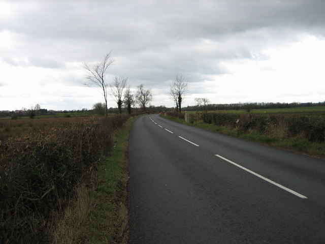
| current | 20:50, 24 January 2017 | | 640 × 480 (56 KB) | Vlad (talk | contribs) | '''Kinnego Embankment''' The embankment carries the road across marshy land. |
File usage
The following page uses this file: