File:Kircubbin - Geograph - 5100960.jpg
Jump to navigation
Jump to search

No higher resolution available.
Kircubbin_-_Geograph_-_5100960.jpg (640 × 360 pixels, file size: 327 KB, MIME type: image/jpeg)
| |||||||||||||||||||||||||
|
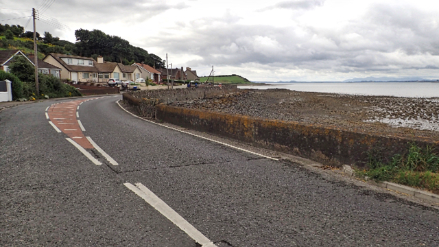
Galleries | A20 (Northern Ireland) | St Patricks Trail | County Down | ||
File history
Click on a date/time to view the file as it appeared at that time.
| Date/Time | Thumbnail | Dimensions | User | Comment | |
|---|---|---|---|---|---|
| current | 10:28, 20 March 2017 | | 640 × 360 (327 KB) | Si404 (talk | contribs) | '''Kircubbin''' |
File usage
The following page uses this file: