File:Ladybower Reservoir (C) Graham Hogg - Geograph - 2242405.jpg
Jump to navigation
Jump to search

No higher resolution available.
Ladybower_Reservoir_(C)_Graham_Hogg_-_Geograph_-_2242405.jpg (640 × 480 pixels, file size: 73 KB, MIME type: image/jpeg)
| |||||||||||||||||||||||||
|
Galleries | A6014 (Ashopton) | ||
File history
Click on a date/time to view the file as it appeared at that time.
| Date/Time | Thumbnail | Dimensions | User | Comment | |
|---|---|---|---|---|---|
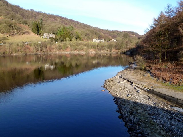
| current | 16:14, 26 October 2014 | | 640 × 480 (73 KB) | Vlad (talk | contribs) | '''Ladybower Reservoir (C) Graham Hogg '''<br/>The NE arm of the reservoir, looking towards the Ladybower Inn from the Ladybower Viaduct. |
File usage
The following page uses this file:
_Graham_Hogg_-_Geograph_-_2242405.jpg&oldid=389626)