File:Lancashire1200.png
Jump to navigation
Jump to search

Size of this preview: 460 × 599 pixels. Other resolution: 1,200 × 1,562 pixels.
Original file (1,200 × 1,562 pixels, file size: 652 KB, MIME type: image/png)
| ||||||||||||||
|
Galleries | Lancashire | ||
File history
Click on a date/time to view the file as it appeared at that time.
| Date/Time | Thumbnail | Dimensions | User | Comment | |
|---|---|---|---|---|---|
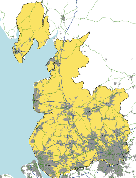
| current | 21:57, 3 February 2014 | | 1,200 × 1,562 (652 KB) | Steven (talk | contribs) | Lancashire, based on a combination of OS OpenData mapping and the Historic County Borders Project data. |
File usage
The following page uses this file: