File:Lane Head Bridge - Geograph - 475907.jpg
Jump to navigation
Jump to search

No higher resolution available.
Lane_Head_Bridge_-_Geograph_-_475907.jpg (640 × 480 pixels, file size: 178 KB, MIME type: image/jpeg)
| |||||||||||||||||||||||||
|
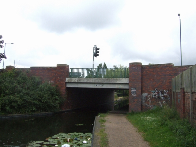
Galleries | A462 | Willenhall | Wolverhampton | Lane Head Bridge | ||
File history
Click on a date/time to view the file as it appeared at that time.
| Date/Time | Thumbnail | Dimensions | User | Comment | |
|---|---|---|---|---|---|
| current | 10:31, 28 March 2020 | | 640 × 480 (178 KB) | Steven (talk | contribs) | '''Lane Head Bridge''' Water lily flowering undisturbed on the Wyrley and Essington Canal at Lane Head. |
File usage
The following 2 pages use this file: