File:Laughton Road - Geograph - 1427455.jpg
Jump to navigation
Jump to search

Size of this preview: 450 × 600 pixels. Other resolution: 480 × 640 pixels.
Original file (480 × 640 pixels, file size: 94 KB, MIME type: image/jpeg)
| |||||||||||||||||||||||||
|
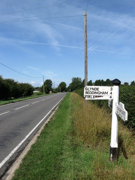
Galleries | B2124 | A273 (Ringmer - Holmes Hill) | Fingerpost | S2 | ||
File history
Click on a date/time to view the file as it appeared at that time.
| Date/Time | Thumbnail | Dimensions | User | Comment | |
|---|---|---|---|---|---|
| current | 11:15, 16 February 2010 | | 480 × 640 (94 KB) | Bob@romiley1 (talk | contribs) | {{Information |description = Laughton Road |day = 02 |month = 08 |year = 2009 |photographer = © Copyright [http://www.geograph.org.uk/profile/1833 Simon Carey] and licensed for reuse under [http://creativecommons.org/licenses/by- |
File usage
The following 2 pages use this file: