File:Laxford Bridge - Geograph - 2570133.jpg
Jump to navigation
Jump to search

No higher resolution available.
Laxford_Bridge_-_Geograph_-_2570133.jpg (640 × 480 pixels, file size: 110 KB, MIME type: image/jpeg)
| |||||||||||||||||||||||||
|
Galleries | A838 | Laxford Bridge | North and West Highlands Route | NC500 | ||
File history
Click on a date/time to view the file as it appeared at that time.
| Date/Time | Thumbnail | Dimensions | User | Comment | |
|---|---|---|---|---|---|
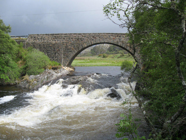
| current | 08:43, 9 August 2012 | | 640 × 480 (110 KB) | Rileyrob (talk | contribs) | Laxford Bridge, the River Laxford is in spate following recent heavy rains, with another storm approaching. The bridge carries the A838 road. |
File usage
There are no pages that use this file.