File:Lesbourne Road, Reigate, Surrey (C) Peter Trimming - Geograph - 2764414.jpg
Jump to navigation
Jump to search

No higher resolution available.
Lesbourne_Road,_Reigate,_Surrey_(C)_Peter_Trimming_-_Geograph_-_2764414.jpg (640 × 426 pixels, file size: 61 KB, MIME type: image/jpeg)
| |||||||||||||||||||||||||
File history
Click on a date/time to view the file as it appeared at that time.
| Date/Time | Thumbnail | Dimensions | User | Comment | |
|---|---|---|---|---|---|
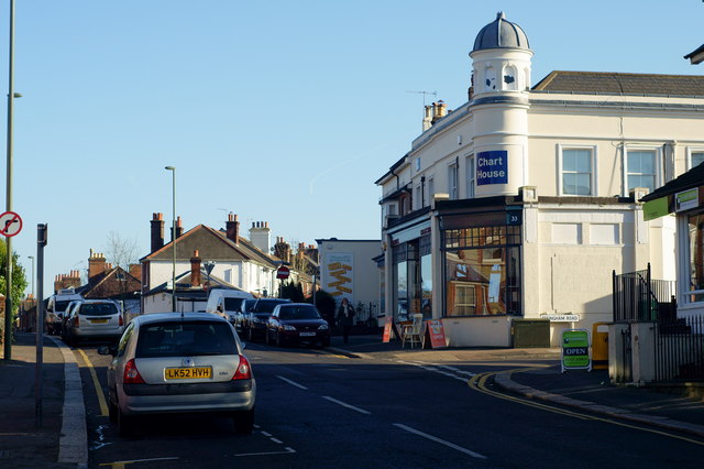
| current | 19:56, 8 November 2013 | | 640 × 426 (61 KB) | Vlad (talk | contribs) | '''Lesbourne Road, Reigate, Surrey (C) Peter Trimming '''<br/>Looking towards the distant junction, at which Lesbourne Road peels off to the right, and the continuing road becomes West Road (B2034). |
File usage
The following 2 pages use this file:
_Peter_Trimming_-_Geograph_-_2764414.jpg&oldid=358234)