File:Level Crossing, Killingworth Drive - Geograph - 4043685.jpg
Jump to navigation
Jump to search

No higher resolution available.
Level_Crossing,_Killingworth_Drive_-_Geograph_-_4043685.jpg (640 × 481 pixels, file size: 290 KB, MIME type: image/jpeg)
| |||||||||||||||||||||||||
|
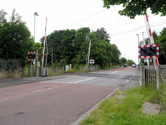
Galleries | B1505 | Level Crossing | Northumberland | ||
File history
Click on a date/time to view the file as it appeared at that time.
| Date/Time | Thumbnail | Dimensions | User | Comment | |
|---|---|---|---|---|---|
| current | 21:11, 27 March 2018 | | 640 × 481 (290 KB) | Glen (talk | contribs) | '''Level Crossing, Killingworth Drive''' |
File usage
The following 2 pages use this file: