File:Level Crossing at the Pill, Caldicot (C) Mrs Blorenge - Geograph - 98680.jpg
Jump to navigation
Jump to search

No higher resolution available.
Level_Crossing_at_the_Pill,_Caldicot_(C)_Mrs_Blorenge_-_Geograph_-_98680.jpg (640 × 480 pixels, file size: 130 KB, MIME type: image/jpeg)
| |||||||||||||||||||||||||
|
Galleries | Level Crossing | Monmouthshire | ||
File history
Click on a date/time to view the file as it appeared at that time.
| Date/Time | Thumbnail | Dimensions | User | Comment | |
|---|---|---|---|---|---|
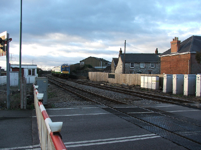
| current | 08:42, 10 November 2013 | | 640 × 480 (130 KB) | Glen (talk | contribs) | '''Level Crossing at the Pill, Caldicot (C) Mrs Blorenge '''<br/>Train approaching from the direction of Caldicot station (west). |
File usage
The following 2 pages use this file:
_Mrs_Blorenge_-_Geograph_-_98680.jpg&oldid=376632)