No higher resolution available.
File history
Click on a date/time to view the file as it appeared at that time.
| Date/Time | Thumbnail | Dimensions | User | Comment |
|---|
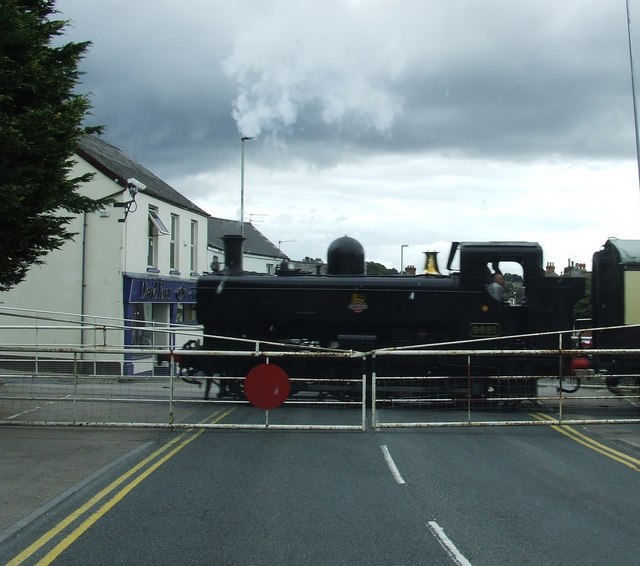
| current | 00:31, 2 March 2010 |  | 640 × 566 (68 KB) | Jeni (talk | contribs) | {{Information |description = Level Crossing in Lydney |day = 30 |month = 09 |year = 2009 |photographer = © Copyright [http://www.geograph.org.uk/profile/10013 norman hyett] and licensed for reuse under [http://creativecommons.org |
File usage
There are no pages that use this file.
This file contains additional information, probably added from the digital camera or scanner used to create or digitise it.
If the file has been modified from its original state, some details may not fully reflect the modified file.
