File:Level crossing, Rhiwderin (C) Jaggery - Geograph - 1780922.jpg
Jump to navigation
Jump to search

No higher resolution available.
Level_crossing,_Rhiwderin_(C)_Jaggery_-_Geograph_-_1780922.jpg (640 × 526 pixels, file size: 93 KB, MIME type: image/jpeg)
| |||||||||||||||||||||||||
|
Galleries | A468 | Level Crossing | Monmouthshire | ||
File history
Click on a date/time to view the file as it appeared at that time.
| Date/Time | Thumbnail | Dimensions | User | Comment | |
|---|---|---|---|---|---|
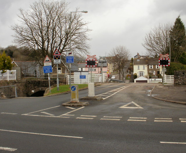
| current | 08:08, 10 November 2013 | | 640 × 526 (93 KB) | Glen (talk | contribs) | '''Level crossing, Rhiwderin (C) Jaggery '''<br/>Looking from Caerphilly Road towards Rhiwderin village.<br /> There is no pavement either side of the level crossing : pedestrians can use the path through the tunnel-like bridge under the track on the ... |
File usage
The following 4 pages use this file:
_Jaggery_-_Geograph_-_1780922.jpg&oldid=376628)