File:Level crossing - Geograph - 426053.jpg
Jump to navigation
Jump to search

No higher resolution available.
Level_crossing_-_Geograph_-_426053.jpg (640 × 480 pixels, file size: 96 KB, MIME type: image/jpeg)
| |||||||||||||||||||||||||
|
Galleries | S2 | Level Crossing | Cumberland | ||
File history
Click on a date/time to view the file as it appeared at that time.
| Date/Time | Thumbnail | Dimensions | User | Comment | |
|---|---|---|---|---|---|
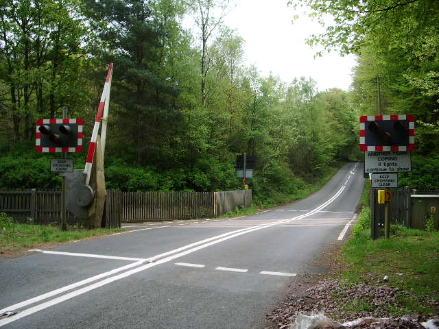
| current | 21:00, 5 October 2010 | | 640 × 480 (96 KB) | Glen (talk | contribs) | '''Level crossing'''<br/>Level crossing on a "C" class road which crosses the Carlisle to Newcastle railway in Miltonrigg Wood. |
File usage
The following 3 pages use this file: