File:Level crossing at Manorbier Newton (C) Jennifer Luther Thomas - Geograph - 218145.jpg
Jump to navigation
Jump to search

No higher resolution available.
Level_crossing_at_Manorbier_Newton_(C)_Jennifer_Luther_Thomas_-_Geograph_-_218145.jpg (640 × 480 pixels, file size: 87 KB, MIME type: image/jpeg)
| |||||||||||||||||||||||||
|
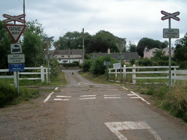
Galleries | Level Crossing | Pembrokeshire | ||
File history
Click on a date/time to view the file as it appeared at that time.
| Date/Time | Thumbnail | Dimensions | User | Comment | |
|---|---|---|---|---|---|
| current | 11:51, 4 November 2013 | | 640 × 480 (87 KB) | Glen (talk | contribs) | Level crossing at Manorbier Newton (C) Jennifer Luther Thomas |
File usage
The following 2 pages use this file:
_Jennifer_Luther_Thomas_-_Geograph_-_218145.jpg&oldid=376623)