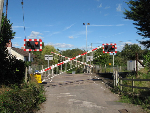
File:Level crossing at St. George's (C) Gareth James - Geograph - 2082135.jpg
Jump to navigation
Jump to search

No higher resolution available.
Level_crossing_at_St._George's_(C)_Gareth_James_-_Geograph_-_2082135.jpg (640 × 480 pixels, file size: 92 KB, MIME type: image/jpeg)
| |||||||||||||||||||||||||
|
Galleries | Level Crossing | Glamorgan | ||
File history
Click on a date/time to view the file as it appeared at that time.
| Date/Time | Thumbnail | Dimensions | User | Comment | |
|---|---|---|---|---|---|
| current | 05:56, 10 November 2013 | | 640 × 480 (92 KB) | Glen (talk | contribs) | Level crossing at St. George's (C) Gareth James |
File usage
The following 2 pages use this file:
_Gareth_James_-_Geograph_-_2082135.jpg&oldid=358486)