File:Ley Hill- Buckinghamshire and Hertfordshire - Geograph - 138848.jpg
Jump to navigation
Jump to search

No higher resolution available.
Ley_Hill-_Buckinghamshire_and_Hertfordshire_-_Geograph_-_138848.jpg (640 × 480 pixels, file size: 114 KB, MIME type: image/jpeg)
| |||||||||||||||||||||||||
|
Galleries | C73 (Hertfordshire) | MC33 (Buckinghamshire) | Hertfordshire | Buckinghamshire | ||
File history
Click on a date/time to view the file as it appeared at that time.
| Date/Time | Thumbnail | Dimensions | User | Comment | |
|---|---|---|---|---|---|
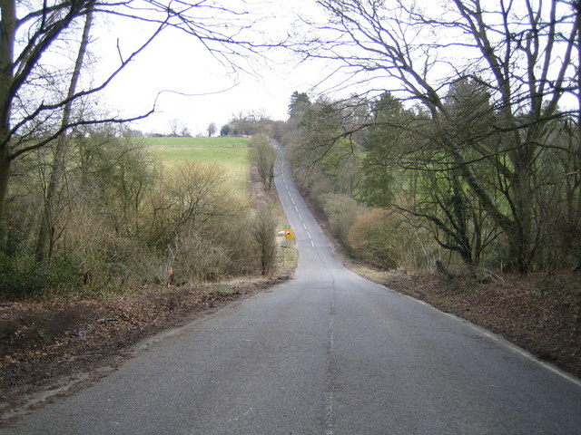
| current | 19:08, 9 March 2017 | | 640 × 480 (114 KB) | C2r (talk | contribs) | '''Ley Hill- Buckinghamshire & Hertfordshire''' Two counties for the price of one here - a view looking north eastwards along Ley Hill from Buckinghamshire into Hertfordshire (and from Chiltern District Council into Dacorum District Council). The b... |
File usage
The following 3 pages use this file: