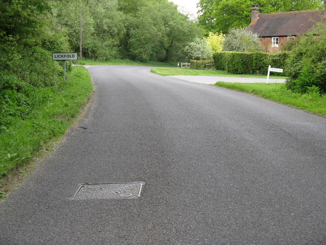
File:Lickfold village sign - Geograph - 1872004.jpg
Jump to navigation
Jump to search

No higher resolution available.
Lickfold_village_sign_-_Geograph_-_1872004.jpg (640 × 480 pixels, file size: 103 KB, MIME type: image/jpeg)
| |||||||||||||||||||||||||
|
Galleries | C36 (West Sussex) | ||
File history
Click on a date/time to view the file as it appeared at that time.
| Date/Time | Thumbnail | Dimensions | User | Comment | |
|---|---|---|---|---|---|
| current | 13:10, 2 February 2019 | | 640 × 480 (103 KB) | Jervi (talk | contribs) | '''Lickfold village sign''' |
File usage
The following page uses this file: