File:Limpley Stoke Viaduct - Geograph - 4842378.jpg
Jump to navigation
Jump to search

No higher resolution available.
Limpley_Stoke_Viaduct_-_Geograph_-_4842378.jpg (640 × 457 pixels, file size: 94 KB, MIME type: image/jpeg)
| |||||||||||||||||||||||||
|
Galleries | A36 | Limpley Stoke Viaduct | ||
File history
Click on a date/time to view the file as it appeared at that time.
| Date/Time | Thumbnail | Dimensions | User | Comment | |
|---|---|---|---|---|---|
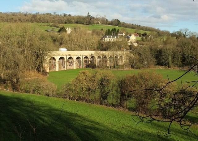
| current | 13:40, 9 April 2018 | | 640 × 457 (94 KB) | C2r (talk | contribs) | '''Limpley Stoke Viaduct''' The viaduct carries the A36 across the Midford Brook. It dates from 1834 and has eleven arches. "Built for part of the road improvements during the re-alignment of the turnpike from Bath to Southampton via Warminster, r... |
File usage
The following page uses this file: