File:Limpsfield Road, Sanderstead (C) David Howard - Geograph - 4308139.jpg
Jump to navigation
Jump to search

No higher resolution available.
Limpsfield_Road,_Sanderstead_(C)_David_Howard_-_Geograph_-_4308139.jpg (640 × 480 pixels, file size: 68 KB, MIME type: image/jpeg)
| |||||||||||||||||||||||||
File history
Click on a date/time to view the file as it appeared at that time.
| Date/Time | Thumbnail | Dimensions | User | Comment | |
|---|---|---|---|---|---|
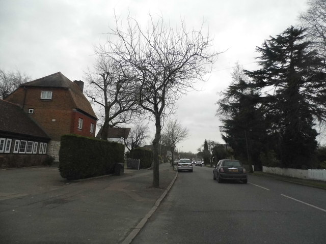
| current | 20:44, 17 January 2015 | | 640 × 480 (68 KB) | Davidnw9 (talk | contribs) | '''Limpsfield Road, Sanderstead (C) David Howard '''<br/>The church hall of the Catholic Church of the Holy Family is on the left |
File usage
The following 2 pages use this file:
_David_Howard_-_Geograph_-_4308139.jpg&oldid=524389)