File:Lindsay's Bridge, Banbridge (4) - Geograph - 989156.jpg
Jump to navigation
Jump to search

No higher resolution available.
Lindsay's_Bridge,_Banbridge_(4)_-_Geograph_-_989156.jpg (640 × 436 pixels, file size: 109 KB, MIME type: image/jpeg)
| |||||||||||||||||||||||||
|
Galleries | C348 (Northern Ireland) | Lindsay's Bridge | Banbridge | Pictures from Geograph | ||
File history
Click on a date/time to view the file as it appeared at that time.
| Date/Time | Thumbnail | Dimensions | User | Comment | |
|---|---|---|---|---|---|
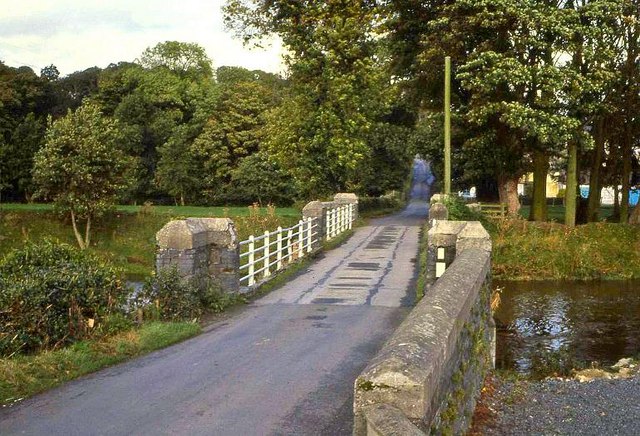
| current | 06:25, 3 September 2021 | | 640 × 436 (109 KB) | C2r (talk | contribs) | '''Lindsay's Bridge, Banbridge (4)''' This is the previous bridge, looking along the Ballydown Road towards the Castlewellan Road. This one was much narrower than the present version and could only accommodate one vehicle at a time. |
File usage
The following 5 pages use this file:
_-_Geograph_-_989156.jpg&oldid=658998)