File:Lisnaragh Road - Geograph - 708502.jpg
Jump to navigation
Jump to search

No higher resolution available.
Lisnaragh_Road_-_Geograph_-_708502.jpg (640 × 479 pixels, file size: 94 KB, MIME type: image/jpeg)
| |||||||||||||||||||||||||
|
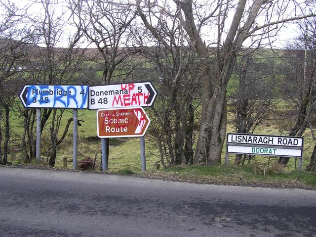
Galleries | B48 (Northern Ireland) | Central Sperrins Scenic Driving Route | Flag Sign | ||
File history
Click on a date/time to view the file as it appeared at that time.
| Date/Time | Thumbnail | Dimensions | User | Comment | |
|---|---|---|---|---|---|
| current | 19:08, 3 February 2011 | | 640 × 479 (94 KB) | Si404 (talk | contribs) | '''Lisnaragh Road'''<br/>This colourful assortment of signs is to be seen at the roadside at Doorat |
File usage
The following 2 pages use this file: