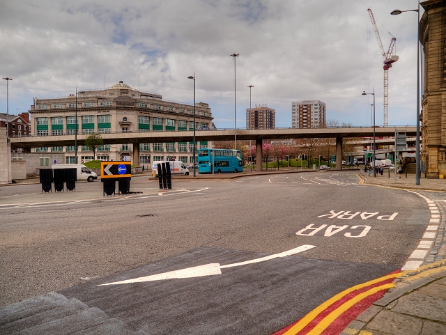
File:Liverpool City Centre, A57 Elevated Section, Churchill Way - Geograph - 4454186.jpg
Jump to navigation
Jump to search

No higher resolution available.
Liverpool_City_Centre,_A57_Elevated_Section,_Churchill_Way_-_Geograph_-_4454186.jpg (640 × 481 pixels, file size: 272 KB, MIME type: image/jpeg)
| |||||||||||||||||||||||||
|
Galleries | A57 | A59 | Churchill Way flyovers | Pictures from Geograph | Liverpool | ||
File history
Click on a date/time to view the file as it appeared at that time.
| Date/Time | Thumbnail | Dimensions | User | Comment | |
|---|---|---|---|---|---|
| current | 12:43, 21 April 2019 | | 640 × 481 (272 KB) | C2r (talk | contribs) | '''Liverpool City Centre, A57 Elevated Section, Churchill Way''' |
File usage
The following 3 pages use this file: