File:Llandovery railway station level... (C) Jaggery - Geograph - 2646633.jpg
Jump to navigation
Jump to search

No higher resolution available.
Llandovery_railway_station_level..._(C)_Jaggery_-_Geograph_-_2646633.jpg (640 × 498 pixels, file size: 68 KB, MIME type: image/jpeg)
| |||||||||||||||||||||||||
|
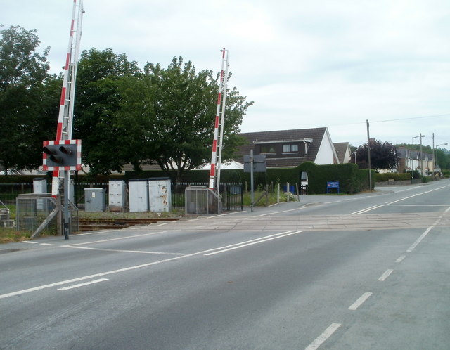
Galleries | A40 | Level Crossing | Carmarthenshire | Llandovery | ||
File history
Click on a date/time to view the file as it appeared at that time.
| Date/Time | Thumbnail | Dimensions | User | Comment | |
|---|---|---|---|---|---|
| current | 10:43, 3 November 2013 | | 640 × 498 (68 KB) | Glen (talk | contribs) | '''Llandovery railway station level... (C) Jaggery '''<br/>The level crossing, at the NE edge of the railway station, carries the Heart of Wales railway lines across the A40, here named Tywi Avenue. |
File usage
The following 2 pages use this file:
_Jaggery_-_Geograph_-_2646633.jpg&oldid=376643)