File:Loading Completed - Geograph - 1420115.jpg
Jump to navigation
Jump to search

No higher resolution available.
Loading_Completed_-_Geograph_-_1420115.jpg (640 × 480 pixels, file size: 160 KB, MIME type: image/jpeg)
| |||||||||||||||||||||||||
|
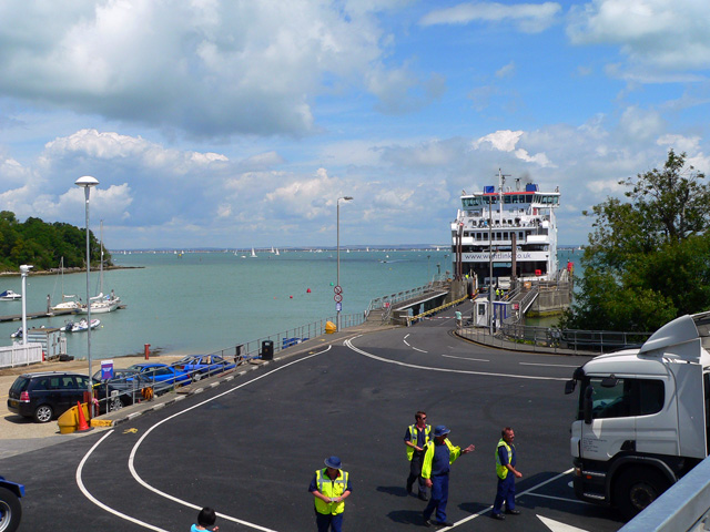
Galleries | Portsmouth - Fishbourne ferry | Isle of Wight | ||
File history
Click on a date/time to view the file as it appeared at that time.
| Date/Time | Thumbnail | Dimensions | User | Comment | |
|---|---|---|---|---|---|
| current | 10:15, 22 April 2010 | | 640 × 480 (160 KB) | Si404 (talk | contribs) | '''Loading Completed'''<br/>The Wightlink Ferry to Portsmouth has completed loading and is about to depart from Fishbourne Harbour. |
File usage
The following 3 pages use this file: