File:London - Kensington - Warwick Gardens (C) Lewis Clarke - Geograph - 2408746.jpg
Jump to navigation
Jump to search

No higher resolution available.
London_-_Kensington_-_Warwick_Gardens_(C)_Lewis_Clarke_-_Geograph_-_2408746.jpg (640 × 425 pixels, file size: 77 KB, MIME type: image/jpeg)
| |||||||||||||||||||||||||
|
Galleries | A3220 | ||
File history
Click on a date/time to view the file as it appeared at that time.
| Date/Time | Thumbnail | Dimensions | User | Comment | |
|---|---|---|---|---|---|
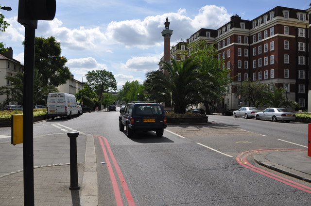
| current | 20:05, 1 August 2014 | | 640 × 425 (77 KB) | Vlad (talk | contribs) | '''London - Kensington - Warwick Gardens (C) Lewis Clarke '''<br/>Looking down Warwick Gardens from the junction Kensington High Street. |
File usage
The following page uses this file:
_Lewis_Clarke_-_Geograph_-_2408746.jpg&oldid=382564)