File:London Road, Reading - Geograph - 762523.jpg
Jump to navigation
Jump to search

No higher resolution available.
London_Road,_Reading_-_Geograph_-_762523.jpg (640 × 480 pixels, file size: 124 KB, MIME type: image/jpeg)
| |||||||||||||||||||||||||
|
Galleries | A4 | B3032 (Reading) | Reading | ||
File history
Click on a date/time to view the file as it appeared at that time.
| Date/Time | Thumbnail | Dimensions | User | Comment | |
|---|---|---|---|---|---|
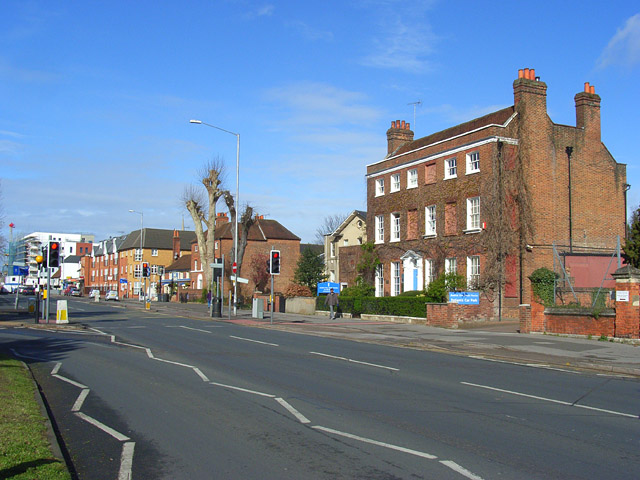
| current | 16:48, 8 March 2010 | | 640 × 480 (124 KB) | Jeni (talk | contribs) | '''London Road, Reading'''<br/>At the foot of Kendrick Road. The house on the right is Kendrick View and dates from the mid to late 18th century. It is now home to a dental practice. |
File usage
The following page uses this file: