File:London Road (A44), Worcester in 1984 - Geograph - 1937554.jpg
Jump to navigation
Jump to search

No higher resolution available.
London_Road_(A44),_Worcester_in_1984_-_Geograph_-_1937554.jpg (640 × 433 pixels, file size: 64 KB, MIME type: image/jpeg)
| |||||||||||||||||||||||||
|
Galleries | A44 | ||
File history
Click on a date/time to view the file as it appeared at that time.
| Date/Time | Thumbnail | Dimensions | User | Comment | |
|---|---|---|---|---|---|
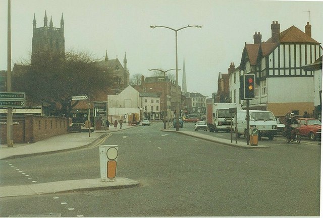
| current | 22:55, 8 April 2020 | | 640 × 433 (64 KB) | Bryn666 (talk | contribs) | '''London Road (A44), Worcester in 1984''' At its junction with Commandery Road. In the middle distance is the cathedral and in the far distance the 245 foot spire of St Andrew's Church |
File usage
The following page uses this file:
,_Worcester_in_1984_-_Geograph_-_1937554.jpg&oldid=620080)