File:Longcastle Schoolhouse - Geograph - 165546.jpg
Jump to navigation
Jump to search

No higher resolution available.
Longcastle_Schoolhouse_-_Geograph_-_165546.jpg (640 × 480 pixels, file size: 65 KB, MIME type: image/jpeg)
| |||||||||||||||||||||||||
|
Galleries | b7085 | ||
File history
Click on a date/time to view the file as it appeared at that time.
| Date/Time | Thumbnail | Dimensions | User | Comment | |
|---|---|---|---|---|---|
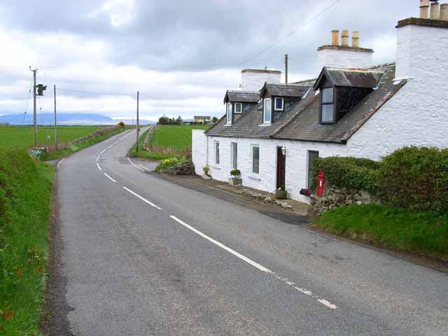
| current | 14:46, 19 April 2010 | | 640 × 480 (65 KB) | Bob@romiley1 (talk | contribs) | '''Longcastle Schoolhouse'''<br/>On the B7085. It is hard now to envisage how at one time a school in such a remote location was viable. |
File usage
The following 2 pages use this file: