File:Longton Road, Trentham (C) Stephen McKay - Geograph - 3023300.jpg

From Roader's Digest: The SABRE Wiki
Jump to navigation Jump to search

Longton_Road,_Trentham_(C)_Stephen_McKay_-_Geograph_-_3023300.jpg(640 × 428 pixels, file size: 77 KB, MIME type: image/jpeg)

Y topleft.gifY topright.gif
Description:
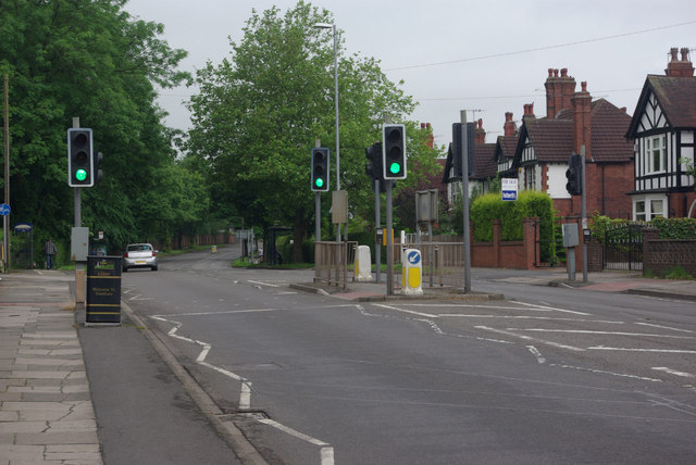
Longton Road, Trentham (C) Stephen McKay
Trentham is a southern suburb of Stoke on Trent, becoming part of the city in 1922. Longton Road, the A5035, is the principal east-west route seen here near the Trent & Mersey Canal bridge.
Location:52.965503, -2.182045
Road:A5035, B5038
Date:28 06 2012
Photographer:Stephen McKay and licensed for reuse under this Creative Commons Licence
Source:Geograph

Map

Y btmleft.gifY btmright.gif

Galleries  | A5035 | B5038

File history

Click on a date/time to view the file as it appeared at that time.

Date/TimeThumbnailDimensionsUserComment
current20:39, 4 November 2013Thumbnail for version as of 20:39, 4 November 2013640 × 428 (77 KB)Vlad (talk | contribs)'''Longton Road, Trentham (C) Stephen McKay '''<br/>Trentham is a southern suburb of Stoke on Trent, becoming part of the city in 1922. Longton Road, the A5035, is the principal east-west route seen here near the Trent & Mersey Canal bridge.

The following 4 pages use this file:

SABRE - The Society for All British and Irish Road Enthusiasts
Discuss - Digest - Discover - Help