File:Looking along the A697 as it heads... (C) Liz 'n' Jim - Geograph - 1131999.jpg
Jump to navigation
Jump to search

No higher resolution available.
Looking_along_the_A697_as_it_heads..._(C)_Liz_'n'_Jim_-_Geograph_-_1131999.jpg (640 × 480 pixels, file size: 141 KB, MIME type: image/jpeg)
| |||||||||||||||||||||||||
|
Galleries | A697 | ||
File history
Click on a date/time to view the file as it appeared at that time.
| Date/Time | Thumbnail | Dimensions | User | Comment | |
|---|---|---|---|---|---|
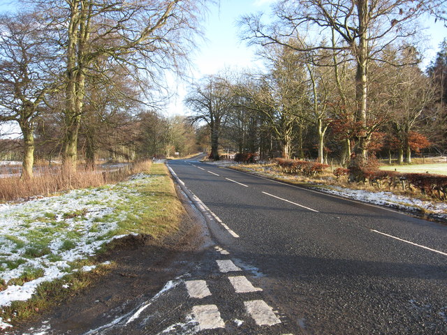
| current | 21:32, 21 March 2014 | | 640 × 480 (141 KB) | Vlad (talk | contribs) | '''Looking along the A697 as it heads... (C) Liz 'n' Jim '''<br/>From its junction with the B6465. |
File usage
The following page uses this file:
_Liz_%27n%27_Jim_-_Geograph_-_1131999.jpg&oldid=367985)