File:Loop Head Peninsula - Carrigaholt - Bridge Street - Derelict Building and Road Signs - Geograph - 3122893.jpg
Jump to navigation
Jump to search

No higher resolution available.
Loop_Head_Peninsula_-_Carrigaholt_-_Bridge_Street_-_Derelict_Building_and_Road_Signs_-_Geograph_-_3122893.jpg (640 × 427 pixels, file size: 87 KB, MIME type: image/jpeg)
| |||||||||||||||||||||||||
|
Galleries | R488 | Loop Head Drive | Wild Atlantic Way | ||
File history
Click on a date/time to view the file as it appeared at that time.
| Date/Time | Thumbnail | Dimensions | User | Comment | |
|---|---|---|---|---|---|
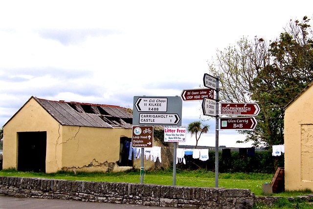
| current | 16:37, 13 May 2016 | | 640 × 427 (87 KB) | C2r (talk | contribs) | '''Loop Head Peninsula - Carrigaholt - Bridge Street - Derelict Building & Road Signs''' View is to the northeast from the junction of West Street & Bridge Street (R488). Behind the derelict building is the Carrigaholt Harbour where the Moyarta... |
File usage
The following 2 pages use this file: