File:Lough Navar Forest Park and Viewpoint - Geograph - 75447.jpg
Jump to navigation
Jump to search

No higher resolution available.
Lough_Navar_Forest_Park_and_Viewpoint_-_Geograph_-_75447.jpg (640 × 426 pixels, file size: 50 KB, MIME type: image/jpeg)
| |||||||||||||||||||||||||
|
Galleries | Lough Navar Forest Drive | ||
File history
Click on a date/time to view the file as it appeared at that time.
| Date/Time | Thumbnail | Dimensions | User | Comment | |
|---|---|---|---|---|---|
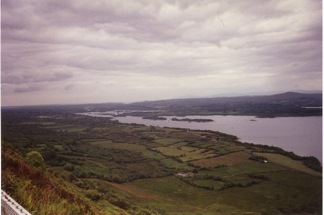
| current | 18:47, 2 September 2018 | | 640 × 426 (50 KB) | Si404 (talk | contribs) | '''Lough Navar Forest Park and Viewpoint''' Broad Lough, Lower Lough Erne looking west. |
File usage
The following page uses this file: