File:Lough Shore Road, Lough Erne (C) Kenneth Allen - Geograph - 515991.jpg
Jump to navigation
Jump to search

No higher resolution available.
Lough_Shore_Road,_Lough_Erne_(C)_Kenneth_Allen_-_Geograph_-_515991.jpg (640 × 479 pixels, file size: 68 KB, MIME type: image/jpeg)
| |||||||||||||||||||||||||
|
Galleries | A46 (Northern Ireland) | ||
File history
Click on a date/time to view the file as it appeared at that time.
| Date/Time | Thumbnail | Dimensions | User | Comment | |
|---|---|---|---|---|---|
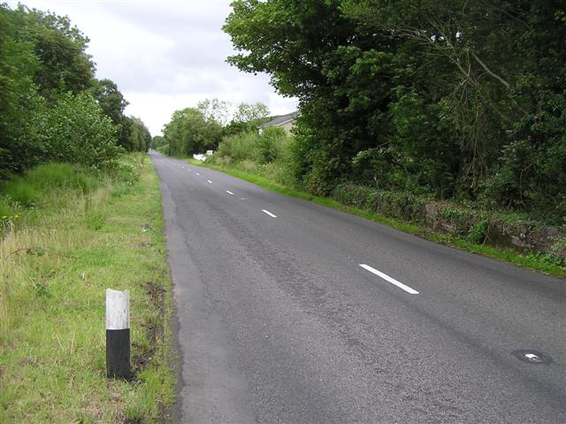
| current | 12:24, 5 June 2013 | | 640 × 479 (68 KB) | Ritchie333 (talk | contribs) | '''Lough Shore Road, Lough Erne (C) Kenneth Allen '''<br/>It is between Drumcrow West and Legg. |
File usage
The following 2 pages use this file:
_Kenneth_Allen_-_Geograph_-_515991.jpg&oldid=346016)