File:Loughrea bypass, County Galway - Geograph - 1872409.jpg
Jump to navigation
Jump to search

No higher resolution available.
Loughrea_bypass,_County_Galway_-_Geograph_-_1872409.jpg (640 × 427 pixels, file size: 44 KB, MIME type: image/jpeg)
| |||||||||||||||||||||||||
File history
Click on a date/time to view the file as it appeared at that time.
| Date/Time | Thumbnail | Dimensions | User | Comment | |
|---|---|---|---|---|---|
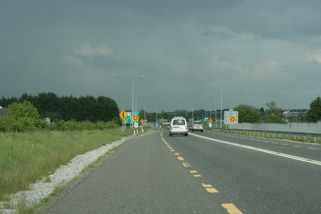
| current | 11:49, 3 February 2015 | | 640 × 427 (44 KB) | Viator (talk | contribs) | Approaching the eastern terminus of the Loughrea bypass (N66) |
File usage
The following 5 pages use this file: