File:Low bridge on N63, Killashee St, SW of Longford - Geograph - 4638749.jpg
Jump to navigation
Jump to search

No higher resolution available.
Low_bridge_on_N63,_Killashee_St,_SW_of_Longford_-_Geograph_-_4638749.jpg (640 × 480 pixels, file size: 72 KB, MIME type: image/jpeg)
| |||||||||||||||||||||||||
|
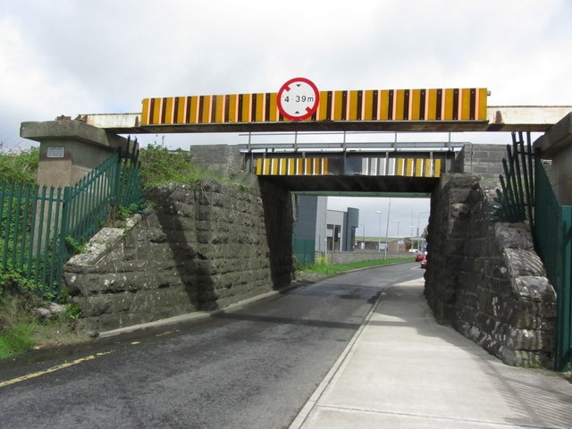
Galleries | N63 | Low Bridge | ||
File history
Click on a date/time to view the file as it appeared at that time.
| Date/Time | Thumbnail | Dimensions | User | Comment | |
|---|---|---|---|---|---|
| current | 17:54, 25 November 2017 | | 640 × 480 (72 KB) | Viator (talk | contribs) | Low bridge over the N63 on the south-west side of Longford town |
| 17:54, 25 November 2017 |  | 640 × 480 (72 KB) | Viator (talk | contribs) | Low bridge over the N63 on the south-west side of Longford town |
File usage
The following 3 pages use this file: