No higher resolution available.
File history
Click on a date/time to view the file as it appeared at that time.
| Date/Time | Thumbnail | Dimensions | User | Comment |
|---|
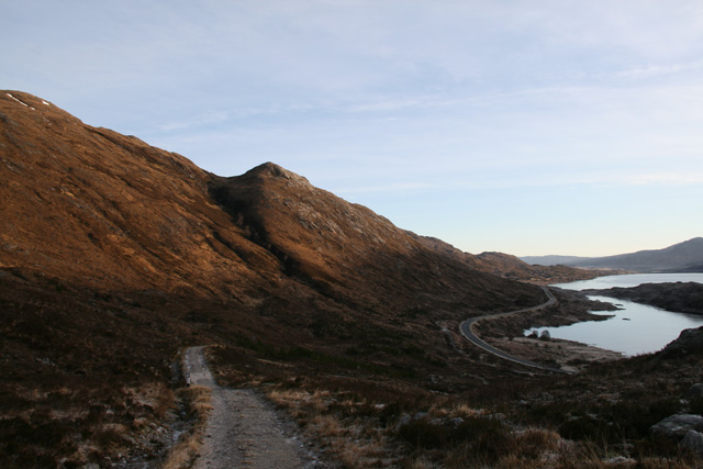
| current | 11:28, 8 February 2012 |  | 640 × 427 (103 KB) | Rileyrob (talk | contribs) | The old military road zig zags up the hill above Lundie, with the modern A87 far below on Loch Cluanieside |
| 11:26, 8 February 2012 |  | 640 × 427 (151 KB) | Rileyrob (talk | contribs) | The old military road zig zags up the hill above Lundie, with the modern A87 far below on Loch Cluanieside |
File usage
The following page uses this file:
This file contains additional information, probably added from the digital camera or scanner used to create or digitise it.
If the file has been modified from its original state, some details may not fully reflect the modified file.

