File:Lundie6.jpg
Jump to navigation
Jump to search

No higher resolution available.
Lundie6.jpg (640 × 427 pixels, file size: 159 KB, MIME type: image/jpeg)
| |||||||||||||||||||||||||
|
Galleries | A87/Glen Shiel | Wade's Military Roads | ||
File history
Click on a date/time to view the file as it appeared at that time.
| Date/Time | Thumbnail | Dimensions | User | Comment | |
|---|---|---|---|---|---|
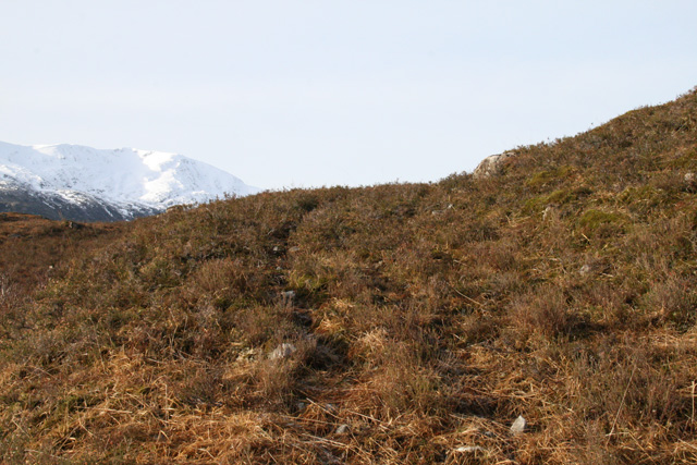
| current | 11:45, 8 February 2012 | | 640 × 427 (159 KB) | Rileyrob (talk | contribs) | It is clues like this that show the alignment of the old military road. There is just the hint of a ledge curving round the hill here, and it measures the magic 15 feet across! |
File usage
The following page uses this file: