File:Luton- Selbourne Road & Leagrave Road - Geograph - 191334.jpg
Jump to navigation
Jump to search

No higher resolution available.
Luton-_Selbourne_Road_&_Leagrave_Road_-_Geograph_-_191334.jpg (640 × 480 pixels, file size: 90 KB, MIME type: image/jpeg)
| |||||||||||||||||||||||||
|
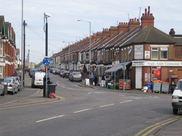
Galleries | B579 | Mini Roundabout | S2 | Luton | ||
File history
Click on a date/time to view the file as it appeared at that time.
| Date/Time | Thumbnail | Dimensions | User | Comment | |
|---|---|---|---|---|---|
| current | 16:25, 28 December 2009 | | 640 × 480 (90 KB) | Bob@romiley1 (talk | contribs) | {{Information |description = Luton: Selbourne Road & Leagrave Road |day = 25 |month = 06 |year = 2006 |photographer = © Copyright [http://www.geograph.org.uk/profile/2798 Nigel Cox] and licensed for reuse under [http://creativeco |
File usage
The following 2 pages use this file: